


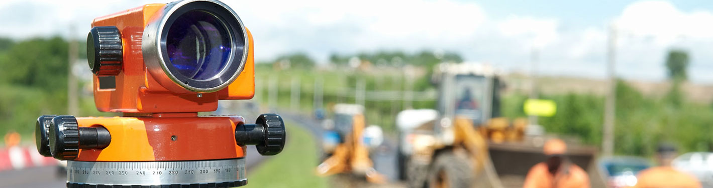
CE-103 ENGINEERING SURVEYING
CREDIT HOURS
Theory = 3
Practical = 1
COURSE LEARNING OUTCOMES (CLOs)
| S. No. | CLOs | Taxonomy |
| 1 | Explain basic surveying techniques used for surveying and leveling | Coginitive Level 2* |
| 2 | Prepare maps and plans, contour maps, profiles, cross sections, etc. using surveying techniques | Coginitive Level 3* |
| 3 | Operate various survey equipment for measurements with required accuracy | Psychomotor Level 3* |
COURSE CONTENT
- Basics of Surveying: Definition, Evolution of Surveying, Types and Classes of Surveys, Plane Table Survey, Surveying Instrumentation, Survey References, Units of Measurement, Location Methods, Accuracy and Precision, Errors and Mistakes, Accuracy Ratio, Stationing, Fields notes, Field management.
- Measurement of Methods of Horizontal Distances: Linear Accessories, Types of Measurement, Chains, Tapes, Standard conditions for use of Steel tapes, Taping Accessories and their use, Systematic Taping Errors and Corrections, Random Taping Errors and Mistakes in Taping, Field notes for Taping, Conventional and Electronic Field books.
- Leveling: Definitions, Theory of Differential Levelling, Effects of Curvature and Refraction, Types of Levels, Automatic Level, Digital Level, Adjustment of Levels, Types of Levelling. Staff, Levelling Operations, Techniques of Levelling, Benchmark Levelling (Vertical Control Survey), Profile and Cross-section Levelling, Reciprocal Levelling, Peg test, Errors in Levelling, Contours and their characteristics, Various methods of Contouring.
- Angles and Directions: Horizontal and Vertical Angles, meridians, Types of Horizontal angles, Azimuths, Bearing, Relationship between Bearings and Azimuths, Reverse Directions, Azimuth and Bearings computations, Magnetic Declination, Types of Compasses.
- Theodolites/ Tacheometers: Introduction, Types of Theodolites, Repeating, Directional and Electronic Theodolites, Temporary adjustmetns, Measurement of Horizontal and Vertical Angles, Prolonging a Straight Line, Permanent Adjustments, Use of Tachometers in computation of Horizontal and Vertical Distances.
- Electronic Distance Measurement: General, Principles of EDMI Operation, EDM Characteristics, EDM Accuracies, Geometry of EDM, Electro-Optical and microwave Instruments, Total Stations, Field procedures for Total Stations in Topographic Surveys, Construction layout using Total Stations.
- Traverse Surveys: Open and Closed Traverses, Latitude and Departures, Computation of Error of Closure, and the accuracy of a Traverse, Traversing with Total Station Instruments, Rules of Adjustment, Effects of Traverse Adjustment on the original data, Computation of Omitted Measurements, Area of Closed Traverse Methods, Use of Compute Programs.
RECOMMENDED BOOKS
(01) Elementary Surveying - An introduction in Geometics by Wolf P. R.
(02) Surveying with construction applications by Kavanagh Barry
(03) Remote Sensing and Images Interpretation by Thomas, M. Lillesand & Ralph W. Kiefer
*For details of Taxonomy Levels CLICK HERE!


